Flying
Fly like a pilot

A library. A spaceship. A time machine.
App for macOS
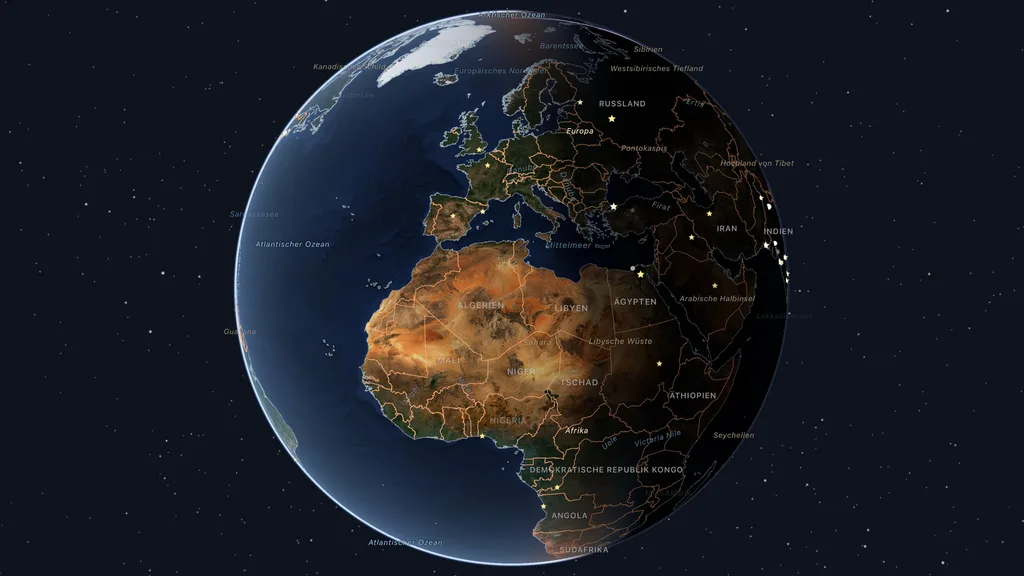
A 3D globe for the Mac – fly to places, explore Earth data, navigate with a SpaceMouse.
Kugelblitz shows the Earth and its neighbours as globes you fly over quickly and smoothly, like a pilot – made only from freely available geodata, straight from their publishers, without a server of its own and without an account.
Everything loaded stays in the cache, and Kugelblitz instances in the same network share it with each other. Every source is listed with its licence in “Sources and Licenses”. Kugelblitz speaks German and English and uses the units of your choice.
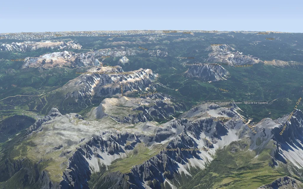
The pictures on this page were drawn by Kugelblitz itself, from Sentinel-2 cloudless (EOX IT Services GmbH, contains modified Copernicus Sentinel data), NASA Blue Marble and Earth at Night, Natural Earth, Mapterhorn, OpenStreetMap (© OpenStreetMap contributors), OpenRailwayMap, the Global CTX Mosaic of Mars (Murray Lab, Caltech), the HiRISE mosaics of the landing sites (NASA Mars Trek; NASA/JPL/University of Arizona), Mars 2020's “Where is the rover?” (NASA/JPL-Caltech), the USGS ANSS Comprehensive Earthquake Catalog (ComCat), the NOAA NCEI/WDS Global Historical Tsunami Database and the City of Vienna's open data (data.wien.gv.at).
Kugelblitz is in the works. Subscribe to the feed to hear about the first release.
With keyboard, trackpad, mouse or SpaceMouse, several at once too: as a pilot, around a point or straight down, with smooth flights to any destination, banking into turns if you like.
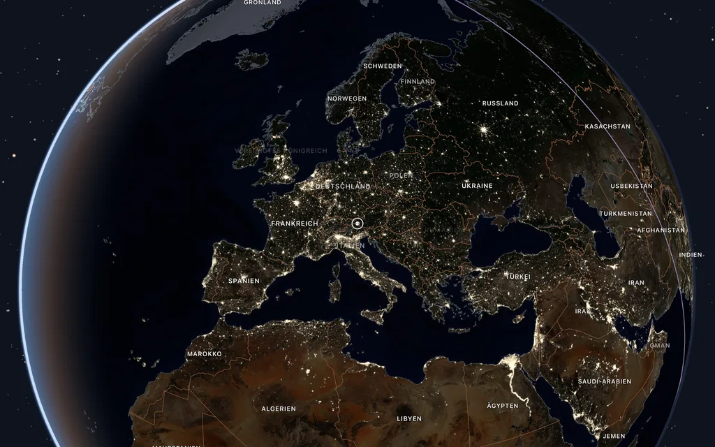
Day and night, hill shading, the city lights, haze and a sky as bright as the air. The Time Shuttle sends the globe through days, nights and years.
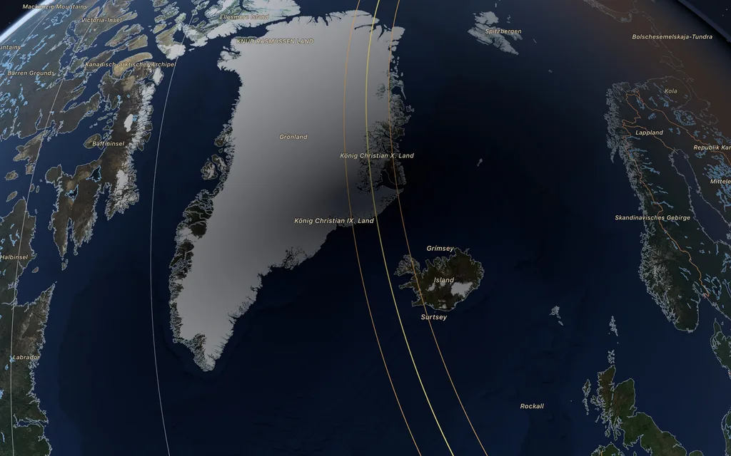
Eclipses, earthquakes, volcanic eruptions, tsunamis and fireballs appear at their place and time. Let the Time Shuttle run and you see them come and go.
Coastlines, borders, rivers, lakes and names from Natural Earth; the nearer you get, the more from OpenStreetMap: roads, places, municipalities, protected areas, airports, harbours, peaks and addresses, loaded region by region by themselves.
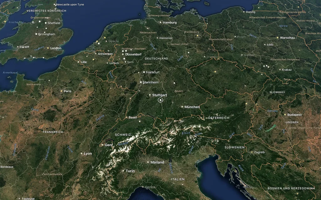
The Library (⌃⌘B) opens directories of map services: aerial images, historic maps, elevation models and ready-drawn maps from OpenStreetMap. Every service can be seen on the Earth at once with “Show on Globe” and added to “My Places” with one click.
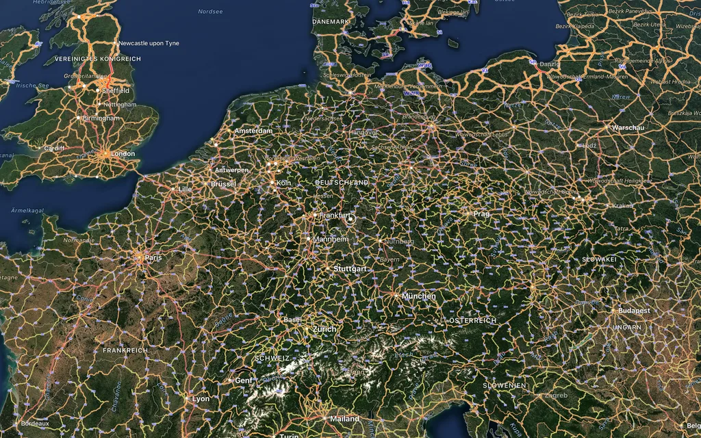
Fly like a pilot
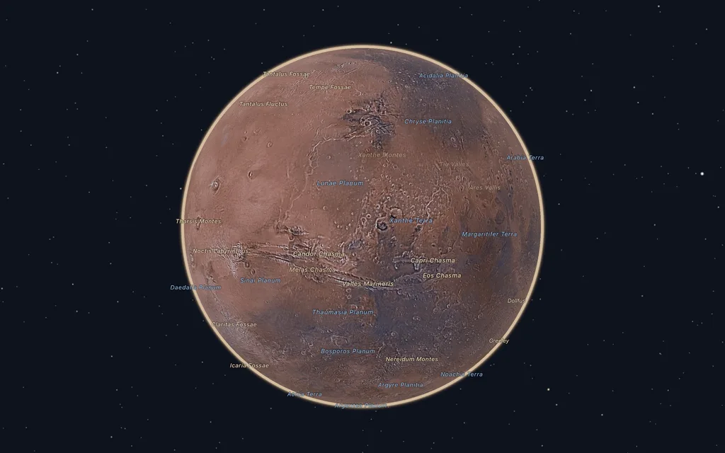
Earth, Moon, Mars and more
The Sun stands where it really is
What happened, where and when
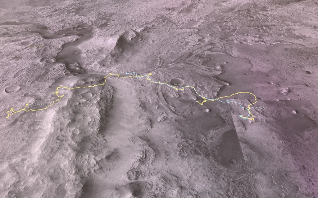
Following the rovers
The nearer, the more map
Thousands of maps from open directories
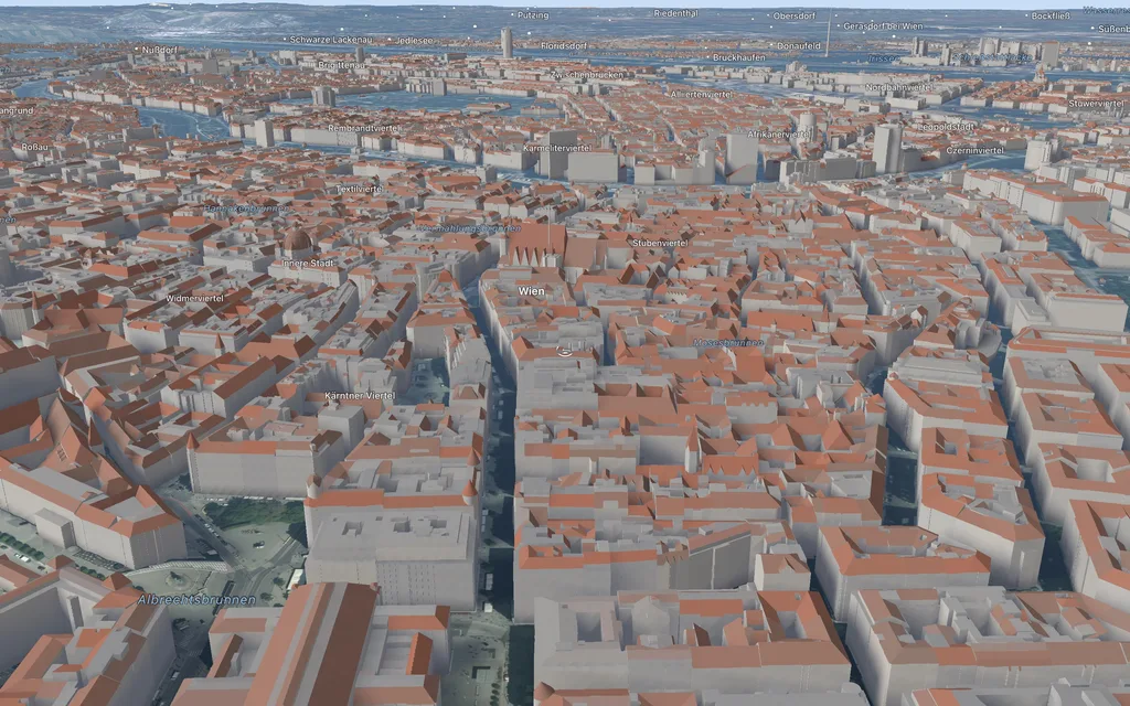
Cities in three dimensions
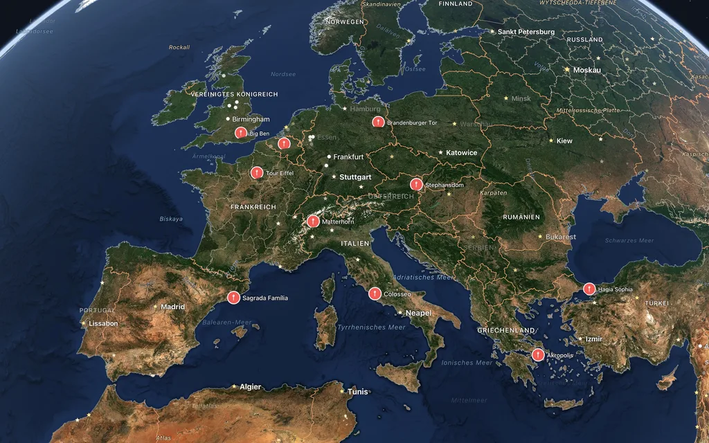
Your places, your data
We can't find the internet
Attempting to reconnect
Something went wrong!
Attempting to reconnect