Map
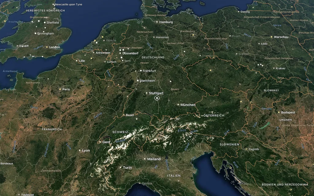
The nearer, the more map
Coastlines, borders, rivers, lakes and names from Natural Earth; the nearer you get, the more from OpenStreetMap: roads, places, municipalities, protected areas, airports, harbours, peaks and addresses, loaded region by region by themselves.
Map tools
Graticule, contour lines as on a hiking map, an overview map in five projections and a compass. The top of the map shows the moment, the point looked at, the altitude and the region, geographic or political.
Names
Names appear in the interface's language or as written locally; other scripts are transcribed if you like.
Sources
| Source | Content |
|---|---|
| Natural Earth | coastlines, borders, rivers, lakes, names |
| OpenStreetMap | roads, places, buildings and more up close |
| EOxCloudless | satellite imagery from Sentinel-2 |
| NASA Blue Marble and Earth at Night | the whole Earth by day and the lights of the night |
| Mapterhorn | terrain |
Each layer only loads once you switch it on. A click on the source line at the bottom right names what is on screen.