Atlas
Every body flat as a printed map
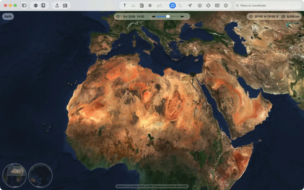
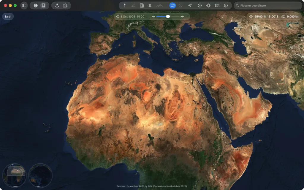
Beside the globe Kugelblitz shows every body as an atlas: the same data flat in five projections, from the whole sheet to the finest images. You switch in the title bar or with ⇧⌘A.
Projection and central meridian
Equal Earth, Mollweide, Hammer-Aitoff, Mercator or Plate Carrée. You choose the central meridian freely: 150° E moves the Pacific to the middle. Every sheet reaches to 85° north and south.
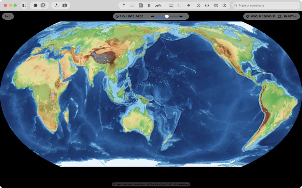
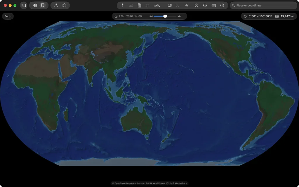
A sheet without an edge
North is always up, and the edge is no limit: dragging, keys and SpaceMouse go past it, and the sheet turns on under the window. In the corner two hemispheres show which part of the body is in view. You drag the light area with the mouse, from one hemisphere to the other too, and a click flies there the short way.
The drawn maps in the atlas
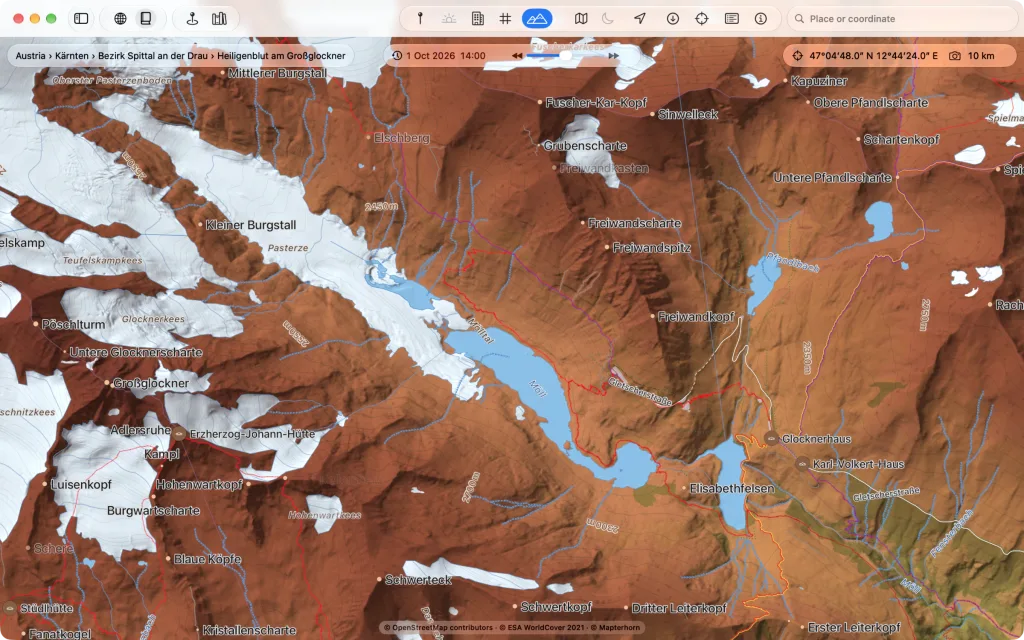
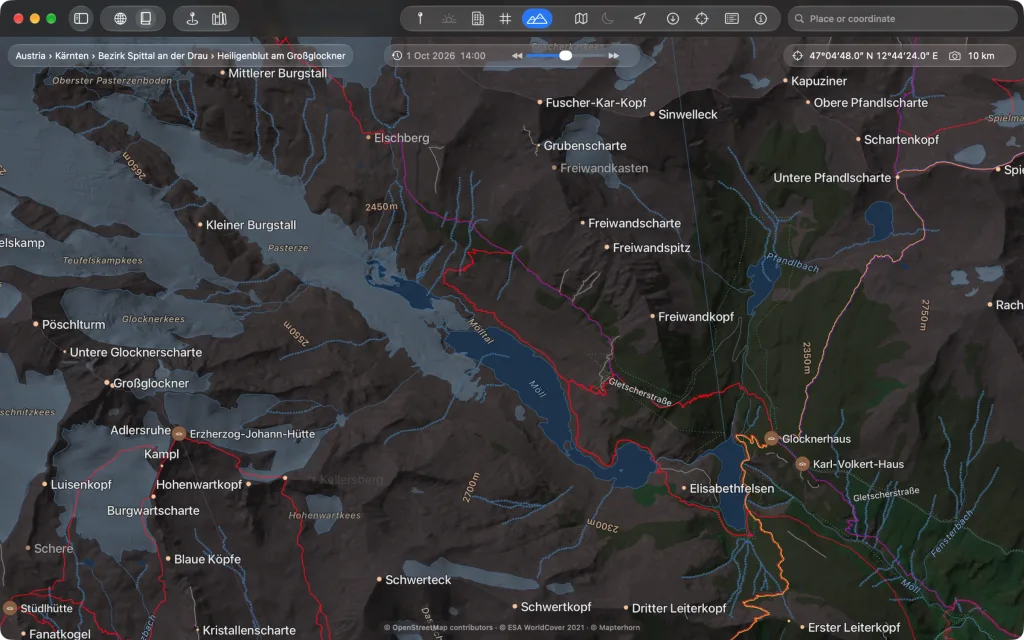
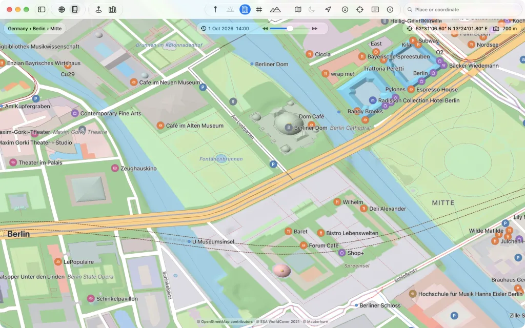
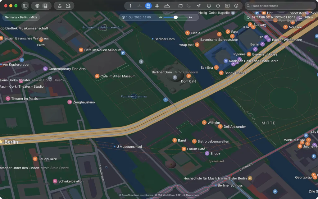
The road map and the topographic map paint their relief and the contour lines into the ground, write the heights on the contour lines. Buildings lie on the sheet as roofs on every kind of map, shaded by their shape.
What belongs to the globe
The atlas is flat and unlit, like print. Terrain, buildings in 3D, day and night, the lights at night and the sky belong to the globe. Imagery, lines, places, names, your own places and events are shown as on the globe.
Saving a picture
File → “Save View as Picture…” saves the sheet as the window shows it, or as a map from above in GeoTIFF format.